
Winter Storm Slowly Moving Through Region
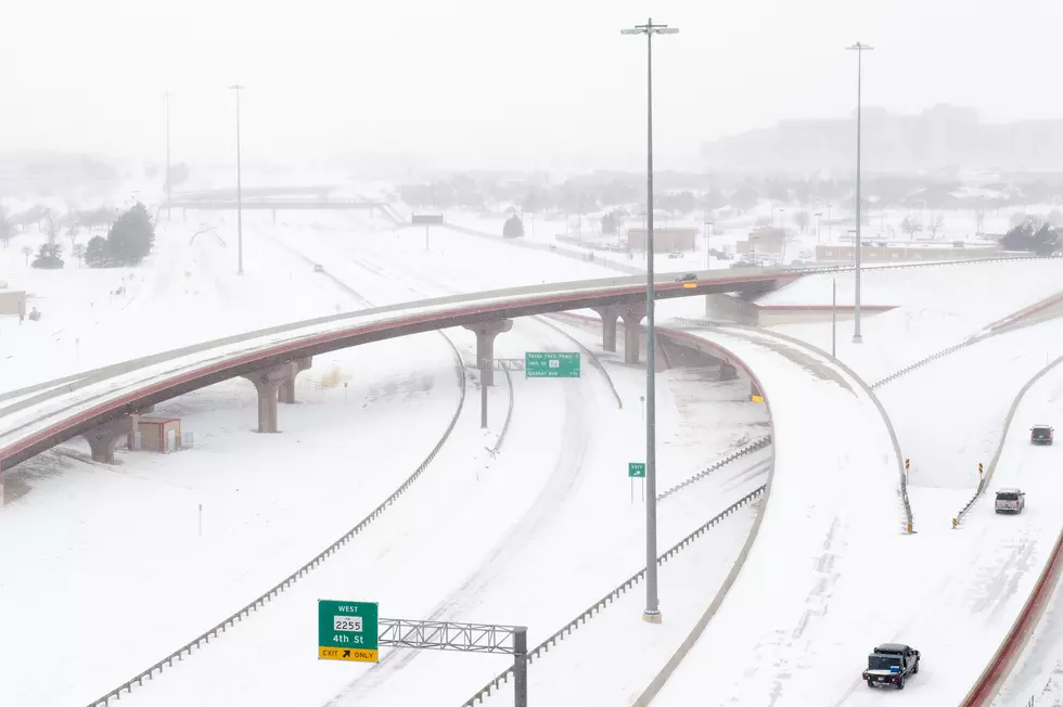
Rochester, MN (KROC AM News) - A winter storm has moved into the region and is expected to hang around through Tuesday night, producing several inches of snow by then.
The storm is expected to have the biggest impact on south central and southwestern Minnesota but most of the state will receive snow. Large parts of western Iowa and eastern South Dakota will also be impacted by the storm.
The area facing the threat of heaviest snow includes the western half of Freeborn and Dodge counties and northward to west of the Twin Cities. That area is under a winter storm warning as more than eight inches of snow may fall by Tuesday night. Among the cities included in the warning: Owatonna, Albert Lea and Faribault.
Half a foot may fall in southeastern Minnesota but much of it could melt by the end of the week because high temperatures in the 30’s are expected through Friday.
Law enforcement officers and the State Patrol have been busy responding to traffic mishaps due to slick road and motorists are being urged to watch their speed.
More From Sasquatch 107.7 - The Rock of Rochester